Nikko to Yamagata
Weather: sunny then cloudy, 10C in the morning, reaching 29C during the day.
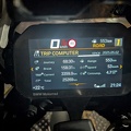
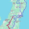
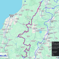
Distance: 474km
<< Previous Day | Next Day >> | Photo Album | Video

Today was a day of many closed roads, and a lot of backtracking. But I also enjoyed some really nice scenery and even a bit of culture.
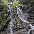
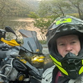
Woke up at 5 and was ready to go by 5:30! So I took the short detour to tag a BMW Mileage Rally spot which turned out to be a beautiful little lake and cascade waterfall just a bit up from Lake Chuzenji.
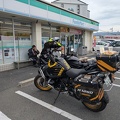
Then it was time to head along my planned route for the day. Unfortunately it was still too early for the Lake Chuzenji lookout, so I skipped that. At the bottom of the range I stopped at a konbini for a chocolate croissant and a cup of coffee.
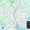
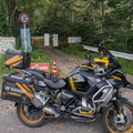
Instead of tagging a new road I decided to enjoy the 169 again over the highlands, and to my first stop, the Ōzasa Farm which was, unfortunately, still closed. This was my planned breakfast stop, so just as well I had a little something a bit earlier.
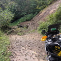
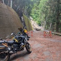
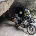
Heading further up the 169 and the super pretty, albeit slow, 249, I hooked up to the 390, which I had tried to do before but it was closed. It was still closed today, but I tried to take the rindo instead and managed to get most of the way along it, despite a long section of muddy gravel, before I got stopped by a small landslide. With a smaller and lighter bike I might have tried to manhandle it over, but no chance with the Bumblebee.. so I had to backtrack all the way and take a huge detour.. which also meant having to skip a couple of waypoints.
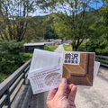
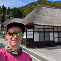
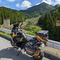
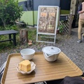
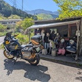
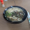
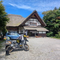
Eventually I made it to Maezawa village which is famous for its “L-Shaped Farmhouses”. The village is still being actively lived in, but it’s slowly dying out as so many of the small remote farm villages in Japan are due to lack of young people interested in taking over. One of the farm houses has been converted into a small museum, showcasing how it might have looked like in its heyday. I tried chatting to the proprietess, but it’s a bit difficult with my limited japanese. I had a lovely soba lunch and then headed on my way..
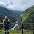
My next stop was Tadami Dam, not that much further up the road, where I had an ice-cream sprinkled with flower dust while taking in the view. From the top dam you can get a fantastic view over the valley onto the lower dam, which has a small information centrer although it seems to be mostly aimed at kids with some interactive displays.
From there it was a farily long-haul to my next stop, which I didn’t reach until shortly before dark due to more closed roads, a fuel-stop, a lengthy stop at a hardware store to get some tools to adjust my new phone holder, and some slow traffic. The stop was supposed to be the Lake Shirakawa Submerged Forest, but I couldn’t really see it. The info center for it was already closed, and it was a bit too dark to make anything out. It actually almost looked as if it has been replaced with a camp ground. Certainly didn’t look anything like the pictures on Google Maps – but maybe I just need to try to go there again in daylight!
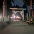
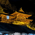
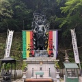
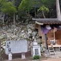
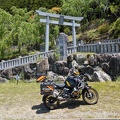
By now it was more or less dark, so there was nothing much to see until I got to my accommodation, which I reached just after 7pm. Very glad this bike has decent spotlights! I did sneak in a final stop at the Somiya Shrine in Nagai, which is a famous stop with bikers. But unfortunately most of it was all closed up and dark.
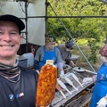
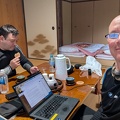
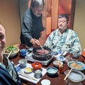
My stay for the night is the Daichi Farm and the hostess made me very welcome. I ended up chatting with the family while I had my dinner (a roll and a beer from a konbini) before having a quick shower and ready for bed! Fingers crossed the weather will hold tomorrow – a typhoon is supposed to be rolling in..